
This page last revised 05 March 2007 -- S.M.Gon III
Introduction
Ecoregion
Conservation Targets
Viability
Goals
Portfolio
TNC Action Sites
Threats
Strategies
Acknowledgements
▫
Tables
Maps & Figures
CPT Database
Appendices
Glossary
Sources
.
Maps & Figures
The current ecoregional plan refers to severalsupporting maps and figures that are made available here as high- resolutiondownloadable images. We are in the process of compiling maps andfigures suitable for web-distribution, so the listing and links are notyet complete. Please select from the list below:Available Maps:
Map : 1998 Ecoregional Map
Map : Pre-Human Ecological Systems
Map : Modern Ecological Systems
Map : Kaua‘i Ecological Systems
Map : O‘ahu Ecological Systems
Map : Moloka‘i Ecological Systems
Map : Maui Ecological Systems
Map : Hawai‘i Island Ecological Systems
Map : Stratification Units (Overview)
Map : Stratification Units (Kaua‘i)
Map : Stratification Units (O‘ahu)
Map : Stratification Units (Maui Nui)
Map : Stratification Units (Hawai‘i)
Map : Rare Plant Concentrations (Kaua‘i)
Map : Rare Plant Concentrations (O‘ahu)
Map : Rare Plant Concentrations (Maui)
Map : 2006 Portfolio of Sites
Map : Kaua‘i Conservation Area
Map : O‘ahu Conservation Areas
Map : East Moloka‘i Conservation Area
Map : Maui Conservation Areas
Map : Hawai‘i Island Conservation Areas

Available Figures:
Figure : Cover Shot: Kahana Bay, O‘ahu
Figure : Oceanian Realm
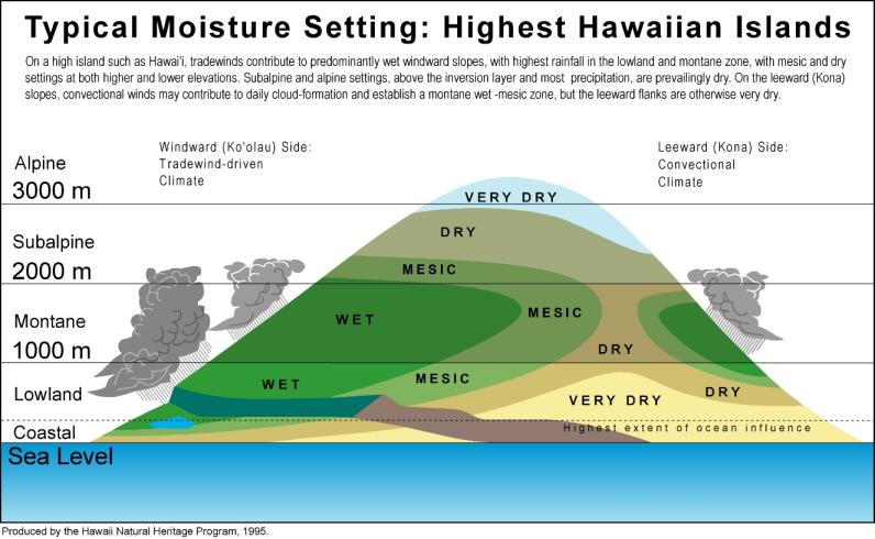
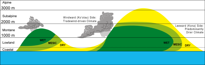
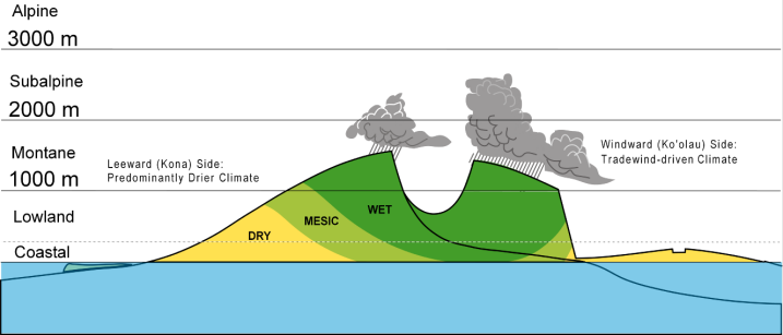
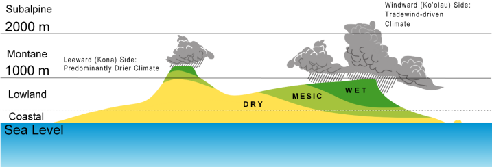
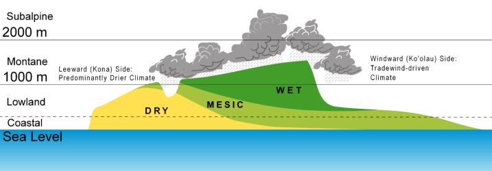
Figure : High Island Ecological Systems
Figure : Ecological System Diagram: Maui
Figure : Ecological System Diagram: Moloka‘i
Figure : Ecological System Diagram: O‘ahu
Figure : Ecological System Diagram: Kaua‘i
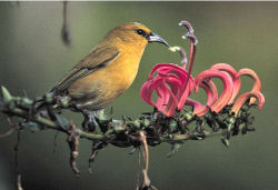
Other Figures: The many images of native species, communities andecological systems found on this website may be available on request,some at higherresolution than their web-adapted format. Unless otherwise stated, theimages are from the photo archives of The Nature Conservancy ofHawai‘i, used with permission. Please contact us for more information, such as photographers' names and copyrights.
Figure : Oceanian Realm
Figure : High Island Ecological Systems
Figure : Ecological System Diagram: Maui
Figure : Ecological System Diagram: Moloka‘i
Figure : Ecological System Diagram: O‘ahu
Figure : Ecological System Diagram: Kaua‘i
Other Figures: The many images of native species, communities andecological systems found on this website may be available on request,some at higherresolution than their web-adapted format. Unless otherwise stated, theimages are from the photo archives of The Nature Conservancy ofHawai‘i, used with permission. Please contact us for more information, such as photographers' names and copyrights.